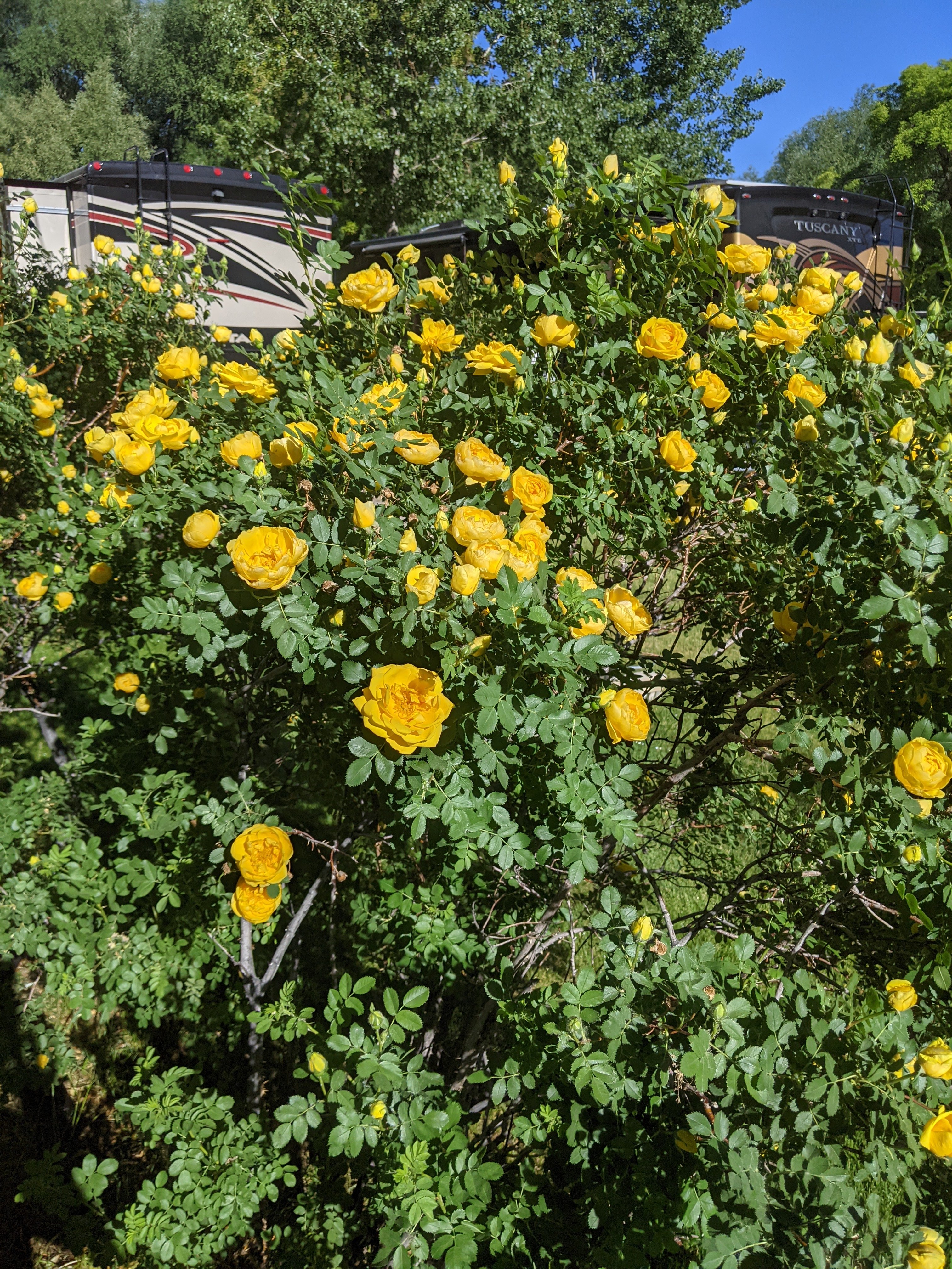
We had a nice relaxing morning this morning, thanks to one of the museums I wanted to see being closed. Small blessings, right? This was one of the most beautiful campgrounds we’ve been to yet. They rightfully call it an “Oasis in the Desert.” The grounds were gorgeous, with few bugs and only a couple of really tiny spiders. And the showers looked clean enough to be in an Airbnb! I told Daniel that if all campgrounds were like this, I could be convinced to spend a few days. They had a gorgeous water feature in the back, with tons of benches, hammocks, waterfalls, and gardens. And this morning we were greeted by one of the hosts with homemade muffins!

Farewell to thee! Thou Stinking turbid stream
Nevada ATR Interpretive Guide
Amid whose waters frogs and Serpents gleam
Thou putred mass of filth farewell forever
For here again I’ll tempt my fortunes never
—Adison Crain, 1852
We got a little bit of a later start than we wanted, but it was totally worth the relaxing morning. Our first stop was right down the street.
Humboldt Wells: The final stop before the emigrants crossed 300-400 miles of desert in the Humboldt Valley, Humboldt Wells is mentioned in many emigrant accounts. The Humbold River itself was a necessary, but hated, path to California. Between our GPS, and the guidebook I mentioned in the last post, we found a trail marker, and a plaque showing the beginning of the Humboldt Wells trail. You could actually see the clear ruts headed towards the valley as they began following the river. Seeing these things never gets old!
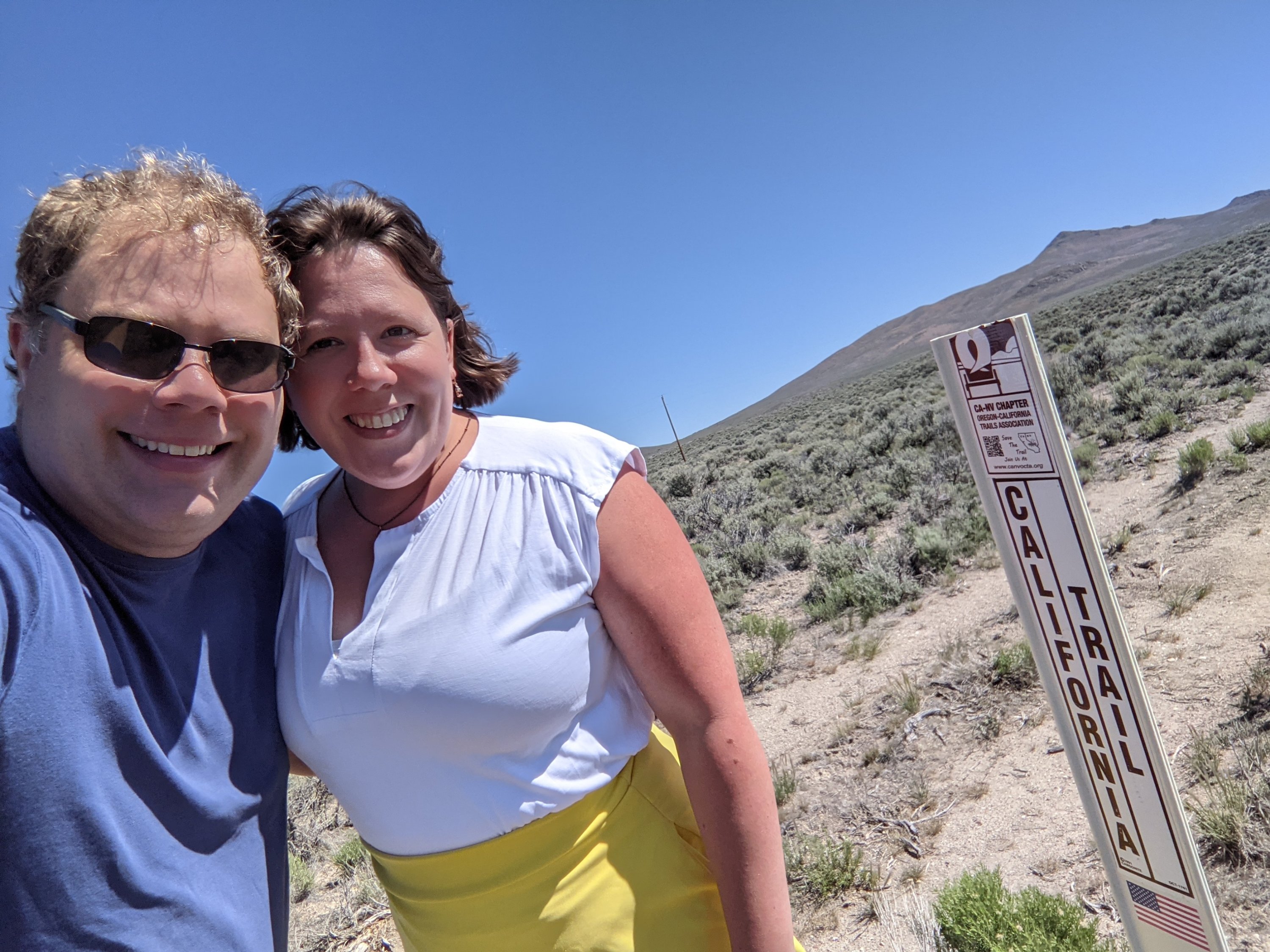

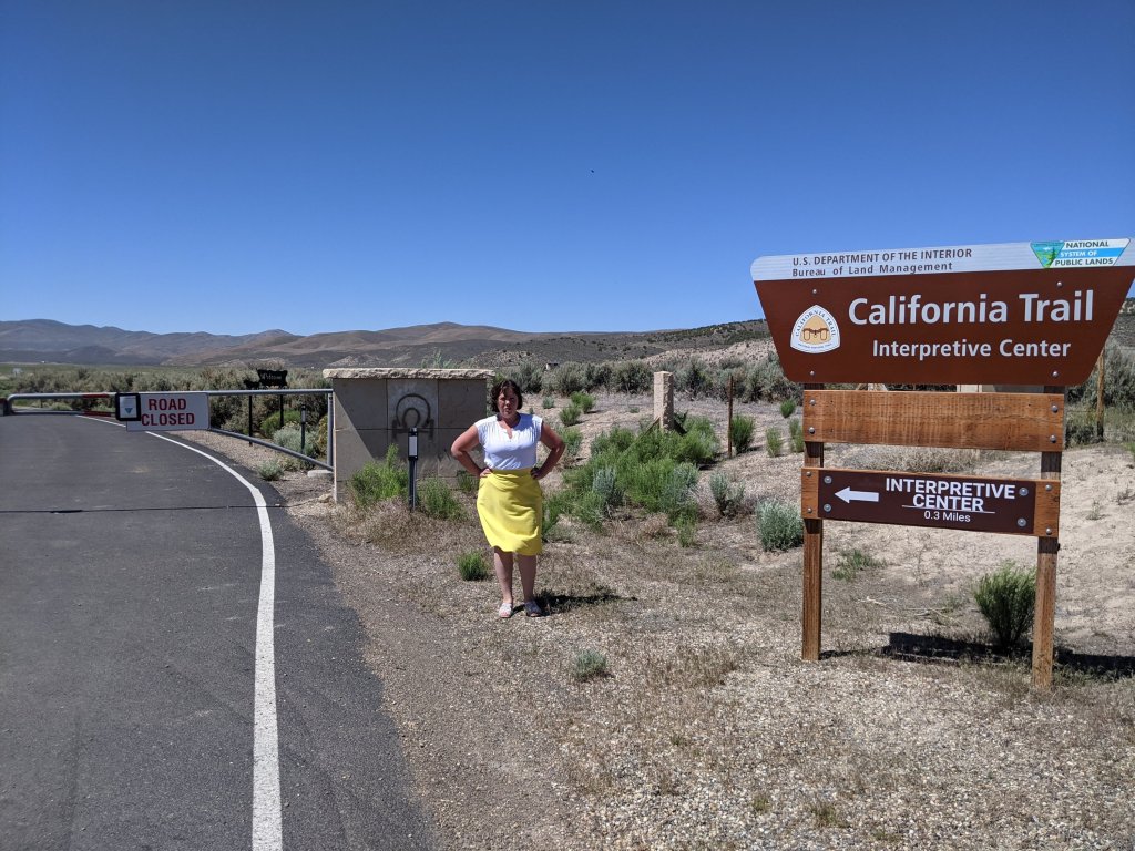
California Trail Interpretive Center: I so desperately wanted to see this center, particularly since it was one of the few resources I found actually dedicated to the California Trail rather than the Oregon Trail. Unfortunately, it closed with COVID and, as far as I can see, has no intention of reopening. I almost cried when I realized it would not be open. If any of you, my readers, ever have the opportunity to go, feel free to message me with pictures and information so I can live vicariously through you!
Carlin Canyon and Greenhorn Cutoff: Emigrants followed the Humboldt River through Carlin Canyon as they continued toward California. The California Interpretive Center website gave perhaps the fullest information I have yet found on the Greenhorn cutoff when they said, “…the Greenhorn Cutoff was not a real cutoff. It would more accurately be called an alternate route as it added 3 miles to the journey. The Greenhorn Cutoff left the Humboldt River, leaving the emigrants with a hot and dry route through the mountains before arriving at the river again.”
I was thrilled to see a marker at both places so I could envision the wagons going across.


Emigrant Pass: My California Trail map doesn’t mention this, but the California Interpretive Center pointed it out as a stop along the trail, noting that the emigrants had to hike eighteen miles up and over the pass in order to avoid the impassible Palisade Canyon. This one even had an old wagon to demonstrate the crossing!

Gravelly Ford: I couldn’t find this on google maps at all, so marked the town of Beowawe as close enough, and was hoping for some markers along the way. Once again, the California Interpretive Center gave me more hope and information for this when they say, “Gravelly Ford was a place where emigrants travelling to California had an easier time crossing the Humboldt River because of the gravelly makeup of the riverbed. It was here that the trail split and followed along both north and south banks of the Humboldt River.” Unfortunately, all I got was an auto tour sign with arrows pointing to… Nowhere. So we decided to assume the Emigrants passed somewhere around here.

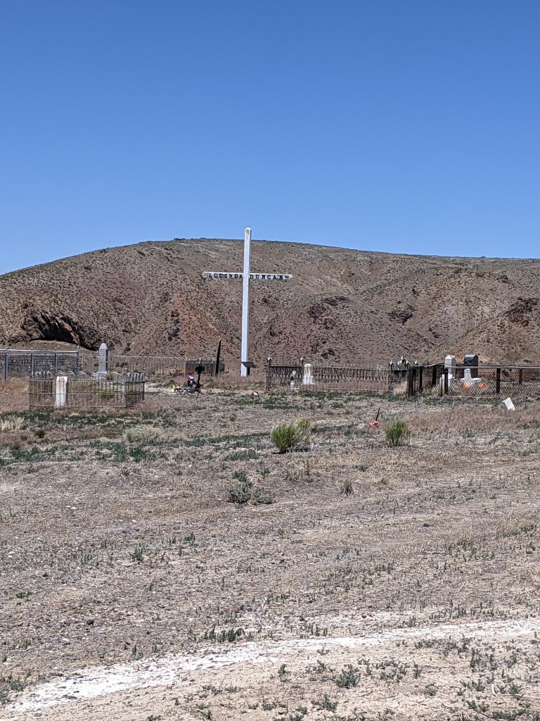
We did, however, find the “Maiden’s Grave”, which was an emigrant grave discovered later and moved to a new location.
Iron Point: So, Iron Point was a location listed on my California Trail map, and noted in one of the travel guides that I looked at. However, I could not find anything else whatsoever about it online, nor directions to it, but took heart from the fact that Google actually had it as a location. Of course, I may have underestimated Google’s desire to kill me. We turned off of the freeway at Google’s indicated point, to the right and stopped, thinking the road ended right there. But no, there was actually a very questionable, winding dirt road off to the right through the sagebrush. Daniel and I looked at each other, shrugged, and decided to give it a try. After all, it wasn’t any worse than the road I used to get to the South pass monument.
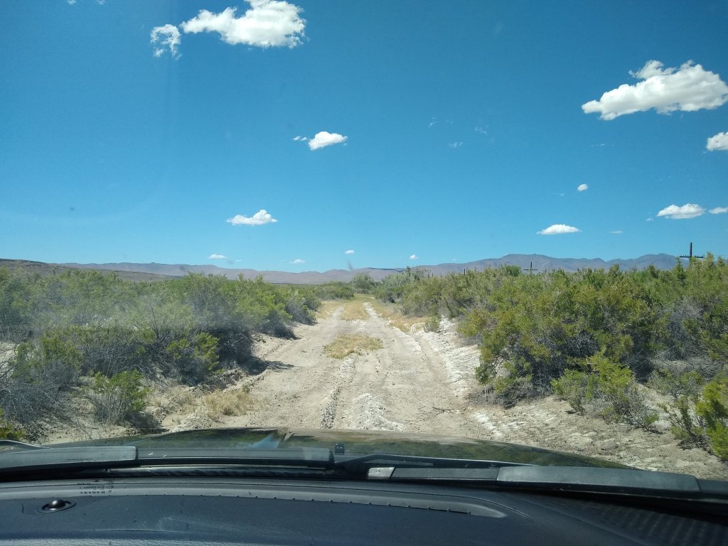
As soon as we got on it, Google listed it as an unknown road, but continue to navigate us through. We laughed and became concerned by turns as Google acted like it was a normal road, and it varied between being well-graveled, and nothing but ruts. This carried on for about 45 minutes, as we went deeper and deeper into the sagebrush, further and further from civilization, and began to question how Google even knew that this road existed. We finally approached some railroad tracks, with a couple of abandoned train cars, took a turn that Google indicated, made a few yards, and stopped. Technically, we were only 6 minutes from where Google was bringing us, which pained me a little, however, based on the condition of the road, I’m not certain that we wouldn’t have been stuck there for the rest of our lives how do we continue. Therefore, I never actually got to see if it was bringing me to the real Iron Point, whether there was a marker, or anything else of interest. But instead backed down the questionable road until I found a place I could turn around, and we made our way back to the highway, simultaneously relieved that we hadn’t gotten another flat tire while we were back there, and delighted to have another adventure to tuck under our belts.

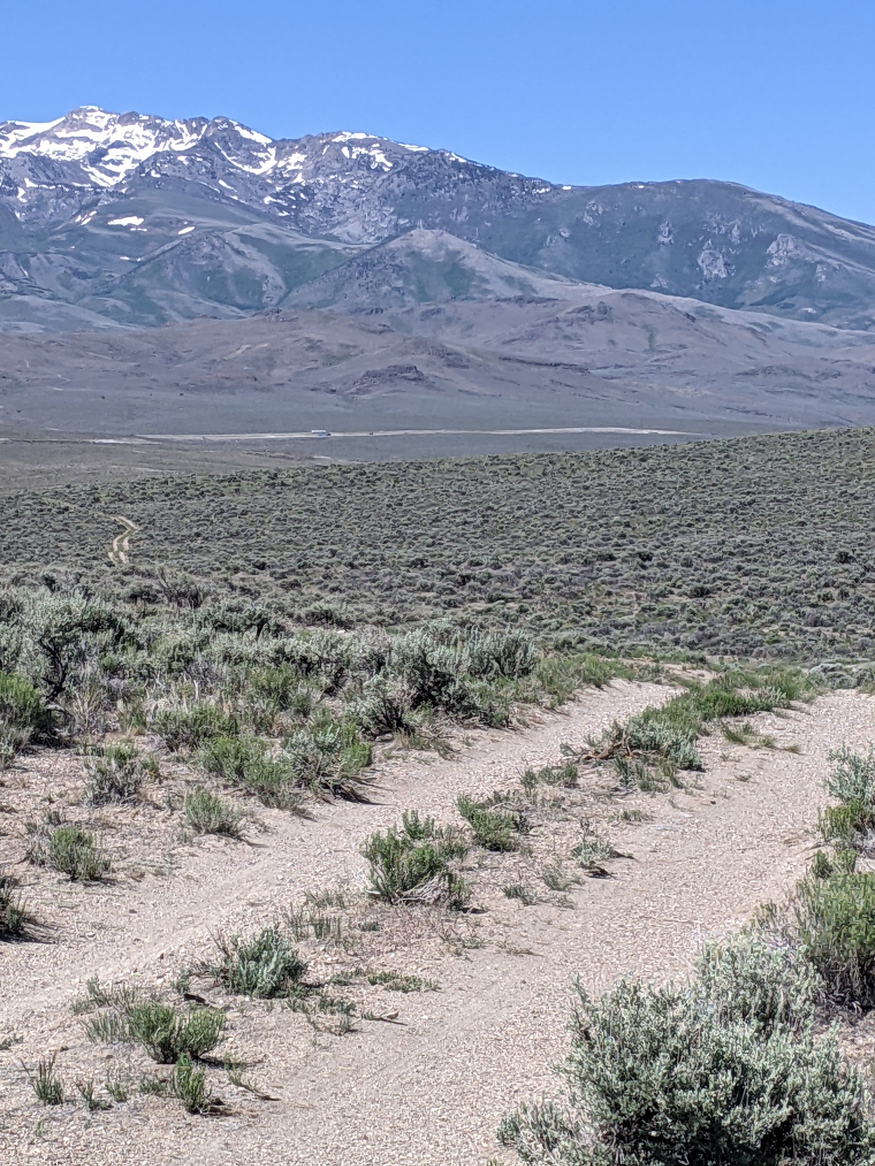
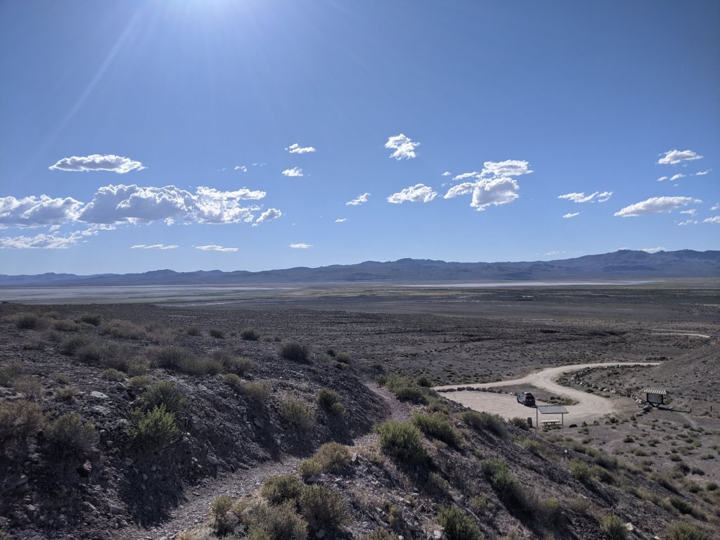
Our final stop was the Humboldt Sink. For those emigrants who opted to follow the Carson Route, as my fictional family (and therefore we) did, Humboldt Sink was the last source of water before the emigrants hit forty miles of desert, and a poor source of water it was, too. Filled with alkaline, it was basically unusable, and by some accounts poisonous. And to this day, it looks like a barren wasteland. We drove for a half hour on dirt roads and finally reached the top of the hill which overlooked the entire sink. It was incredible to look out over that huge vast land and envision wagons surrounding it, trying to get what water they could before continuing into the desert.

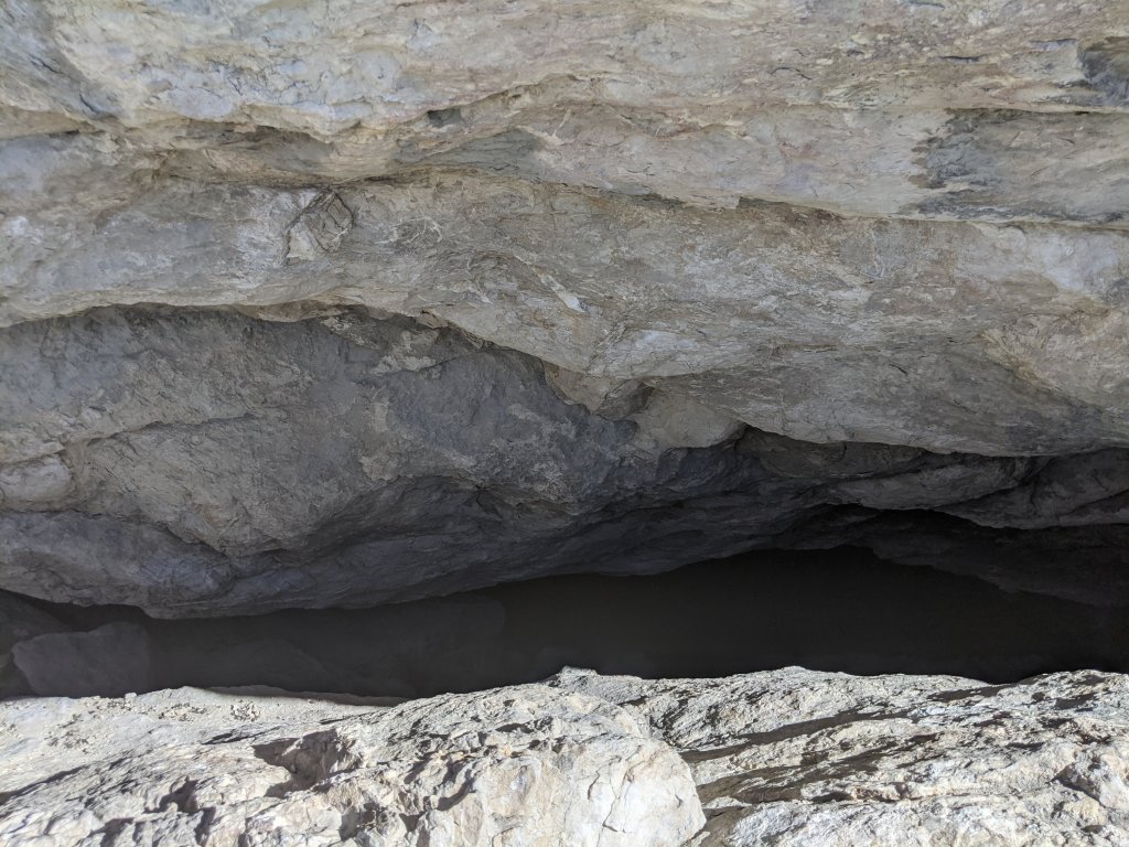
It also happened to be the location of a cave that area is known for, so we went for a quick hike around the hills to see all the scenery, and peak into the cave. Which was a fun detour, if a little hot.
It is a little astounding to realize that we went from Humboldt Wells to Humboldt Sink in less than 12 hours, with stops in between, a journey that would have taken the pioneers three weeks.
And now we are on our way to an Airbnb a little ways from here, with a washer and dryer where we will be able to finally wash all the laundry that has been stacking up. Plus a real bed!
She trudged forward, no longer thinking about the mosquitoes plaguing her, one step after the other. The hot, merciless wind buffeted her already chapped skin, and the rancid smell of the river-if it could be called that-drifted over to add to her misery.
A Picture of the Past
