Day 14 (June 10): I know I mentioned in the previous blog post that we got a beautiful camping location last night. I did not, however, mention the drama I had trying to find a place to spend the night in the first place. I spent hours upon hours looking for an affordable place when I was
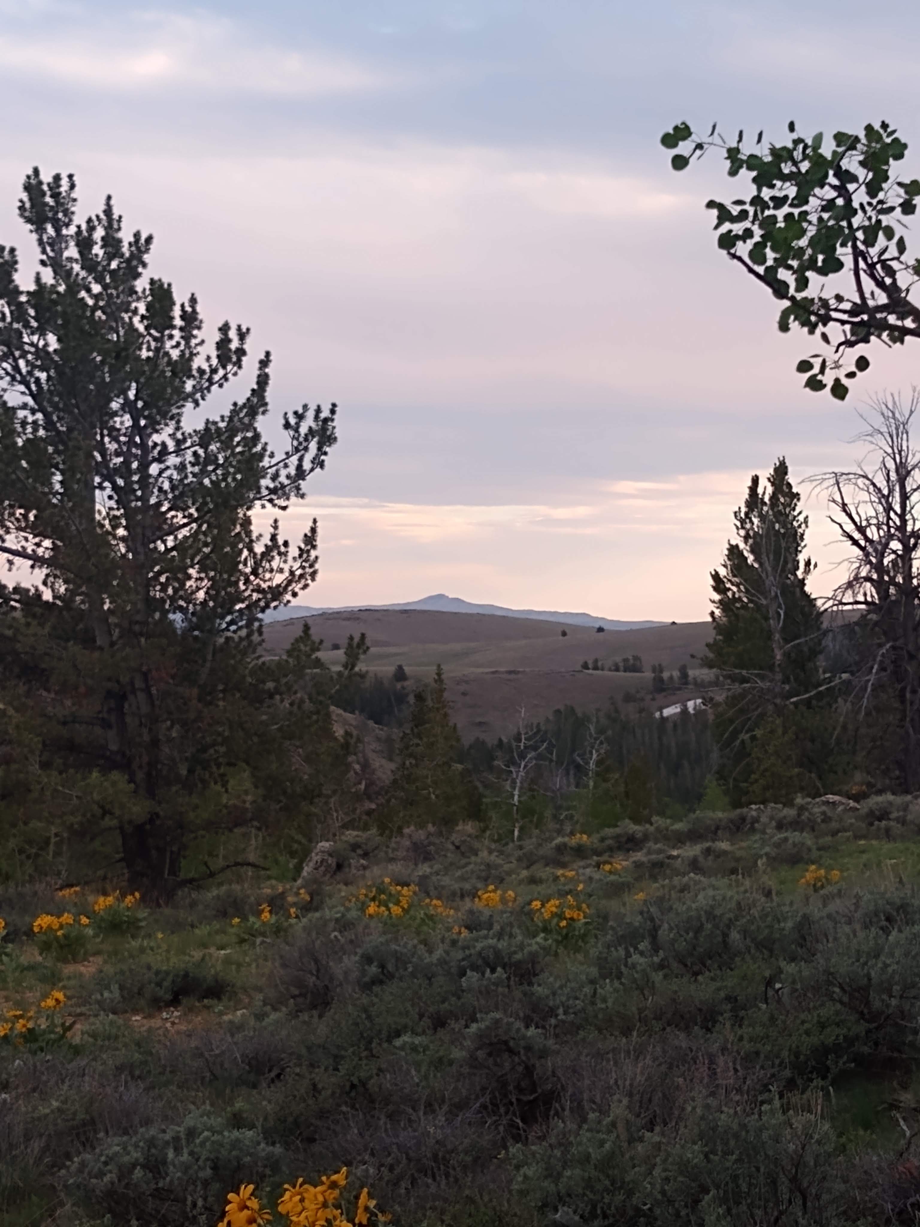
booking things in February, and finally ran across this little place in Lander. However, Anthony (the proprietor) was renovating, and though he had some gorgeous cabins just outside of our price range, he didn’t have any tent locations set up. However, he offered to let us set up on his land anyway, so that we would have a place to spend the night. So, that’s what we did. Now, that did come with a few issues. One, we’re in the middle of the mountains, so it was a little cold. And by a little, I mean Daniel piled five layers on me so I didn’t freeze. And we had to either knock on his door or drive three miles to use the bathroom, or use the woods. Which was a little bit more of an adventure than I was looking for. But I stuck it out! Daniel was quite impressed with me. Also, when I was putting away the tent in the morning, a field mouse ran out from under our tarp!! However, considering Anthony didn’t actually have any resources set up for tents, and didn’t charge us anything for staying on his land, we were still extremely grateful. And I must say the place was gorgeous and the cabins looked extraordinary from the outside, so we are hoping to be able to return at some later point. He is also in the middle of renovating a restaurant and saloon, which also look incredible. So, if you are ever looking for a retreat in the middle of the mountains in Wyoming, we highly recommend Rock Shop Inn. Just…maybe wait until he has tent platforms set up to actually tent camp.
After he kindly gave us free ice for our cooler, and Daniel finished a work report, we finally got underway around 8:00 or 8:30, and our first stop was South Pass!
South Pass: Such an insignificant landmark for such an important piece of history. “Because the South Pass hardly looks like a mountain pass, emigrants who crossed the Continental Divide here scarcely knew they’d done so until they saw water flowing the ‘wrong’ way to the other side. But the broad rise, 29 miles wide, was the key to the whole Oregon Trail.” (Traveling the Oregon Trail). Well, I’m with them. Had it not been for the signs, I wouldn’t have known either! But thanks to the book, we actually took a bunch of back roads, through farm lands, and then
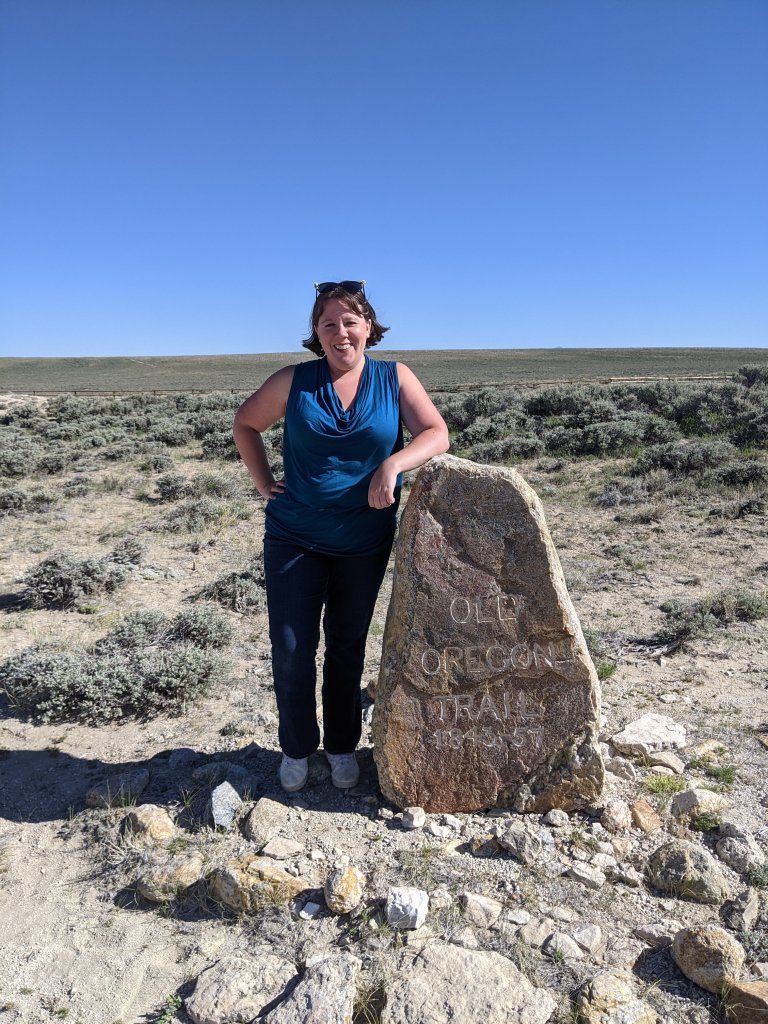
what could barely be called a road anymore, but were actually old wagon ruts, and went to the actual summit of the south pass, where Ezra Meeker once passed in 1852 and came back to place a marker. It was exhilarating, and Daniel occasionally cast me side glances as I bounced over ruts and used prairie to turn around as needed, wondering where this version of his wife had come from.
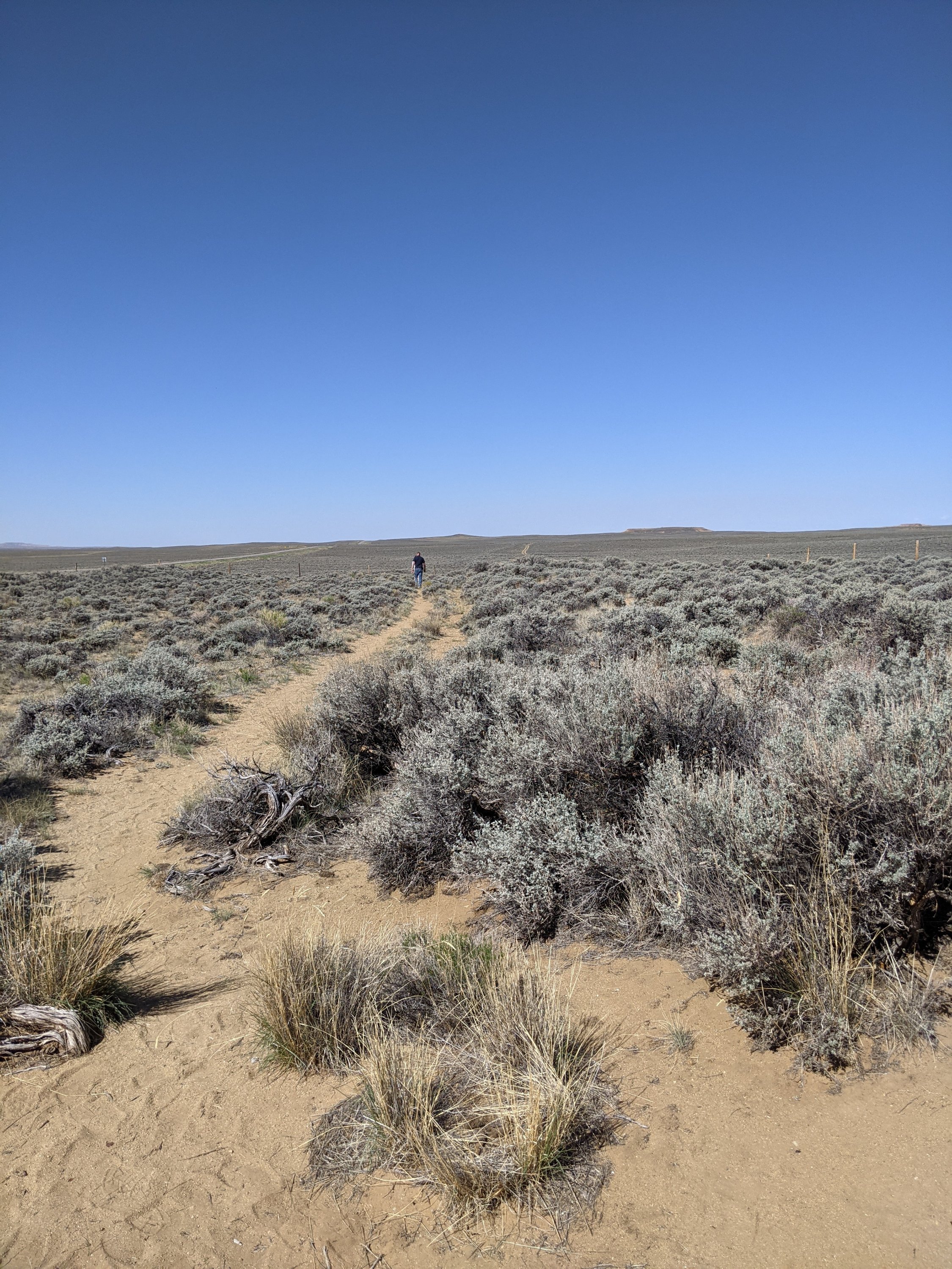
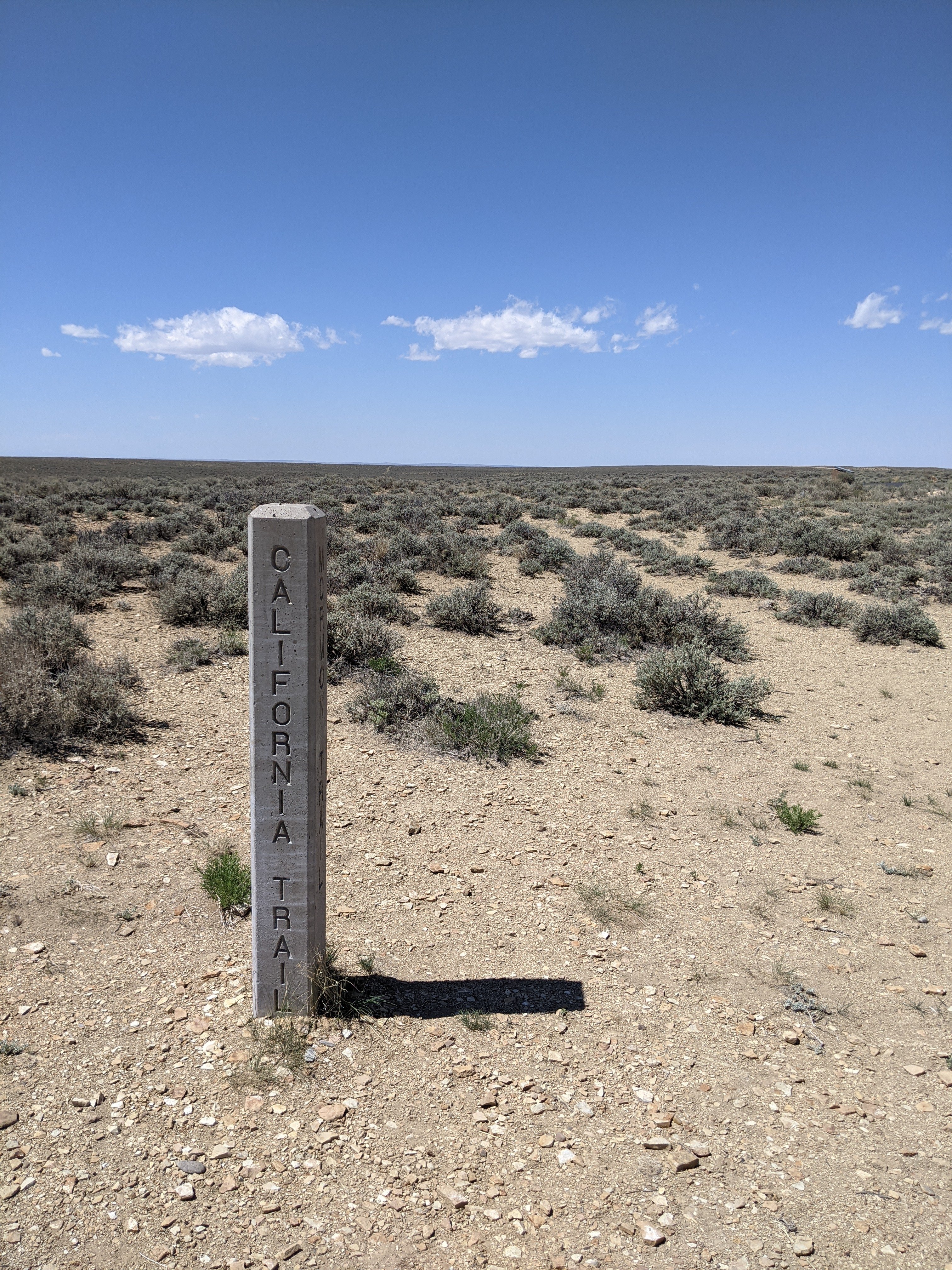
Parting of the Ways: This was one of the main trail splits between the California and Oregon trails, though certainly not the only one (My fictional family opted for splitting towards California further north, past Fort Hall). It added to the authenticity to see actual arrows pointing the way and tracks accordingly.

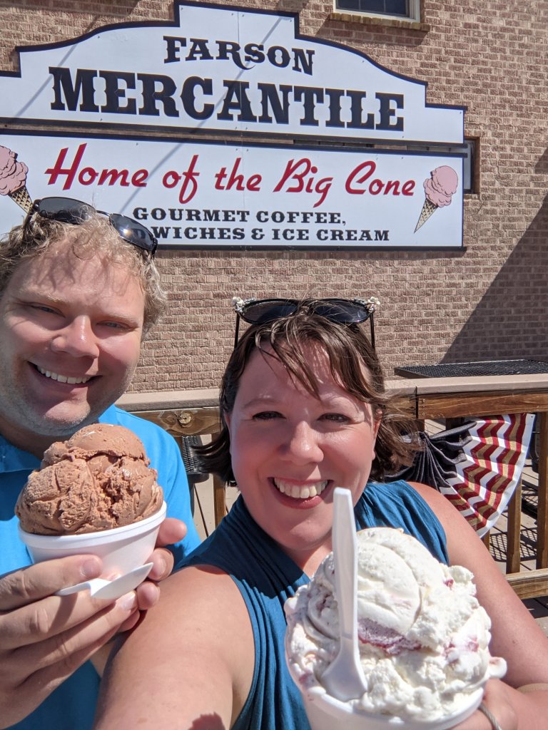
We then followed the recommendation from Traveling the Oregon Trail and stopped in Farson at the mercantile for some ice cream, celebrating with the emigrants who stopped in the same area to cross the Big Sandy River. And, oh my gosh, they did not exaggerate about the size of their scoops. We worked on that ice cream for like half an hour to finish one scoop!
I may not have mentioned that I usually pull over to the side of the highway whenever I see a historical marker to read about that area, since it usually had to do with the trail. One

of these stops today turned into one of our favorite stops. Pilot Butte apparently helped guide Emigrants through the south pass, and the coolest part was that there were the longest wagon ruts we have ever seen!
Fort Bridger: While Fort Bridger started out as a disappointing post designed for emigrants to restock, by the time my fictional family would have hit Fort Bridger, it was a military post. We got to explore all the buildings, the land, and a replica of the old stockade. One of the best forts yet, with its refurbished buildings, it was totally worth the stop.

We switched a couple stops around, due to the limited hours of the National Oregon/California Trail Center, and even though it would involve some backtracking, decided to go to the famous soda springs tonight! Soda Springs was a spring of naturally carbonated water, and a popular stop for emigrants who liked using it not just to wash, but to make bread, and occasionally to replace saleratus (main ingredient in baking soda) if an emigrant ran out, though there seemed to be some disagreement on whether it tasted all right or made the bread bitter. When we got to soda springs, we followed the signs to the main geyser, and arrived only 10 minutes before it was scheduled to go off. Yep, apparently it is on an hourly schedule. I’m assuming that the

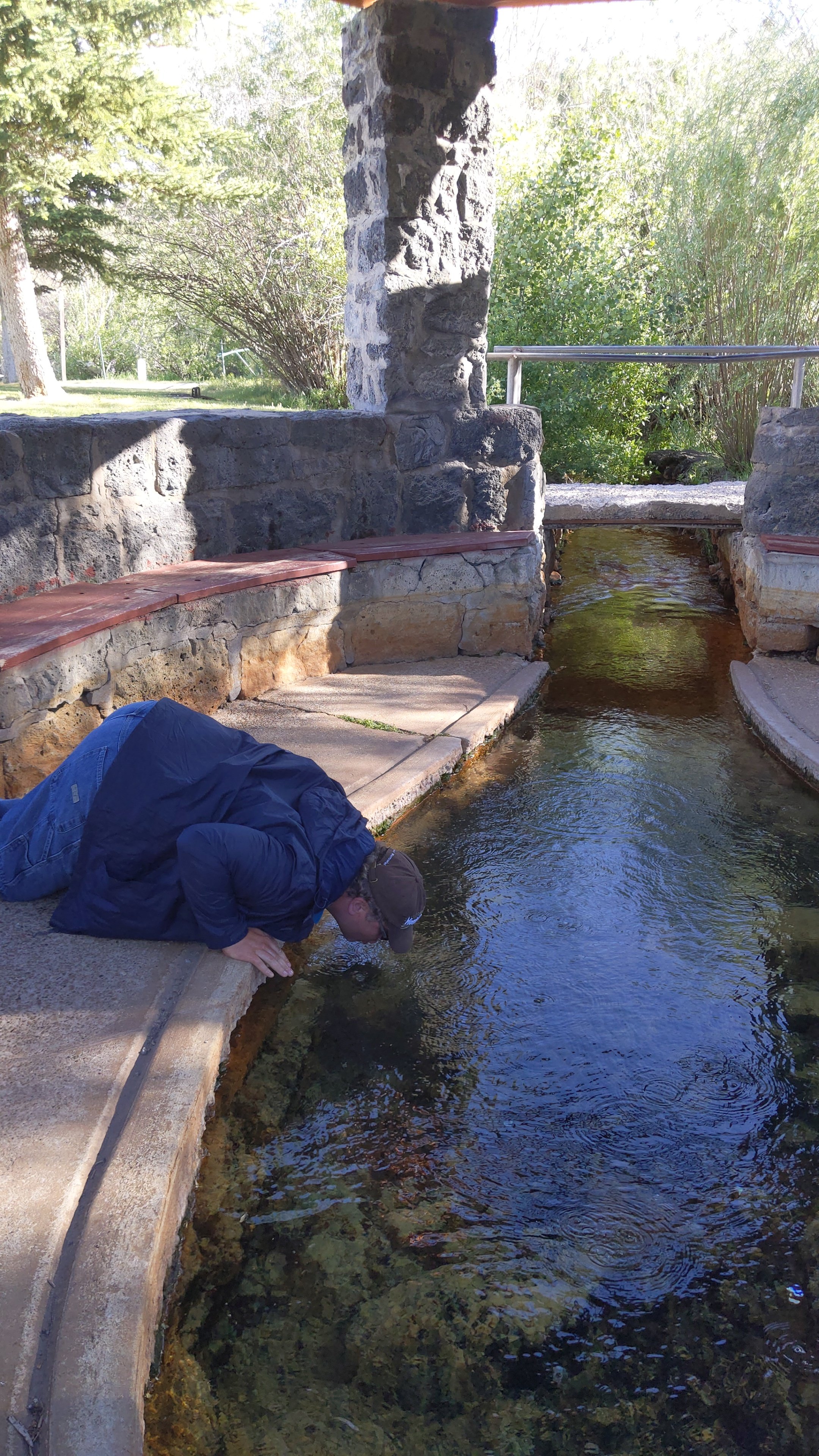
schedule is man-made, since it is called the only “captured geyser”. It looked pretty cool even before it erupted, surrounded by some sort of natural material that I cannot recall the name of. And once it did go off, oh my gosh, that thing flew so many feet in the air, and continued going off for like 10 minutes. I got a video of it and pictures! And then, thanks to Traveling the Oregon Trail, we followed directions outside of town and found the only remaining spring from which travelers can still drink! And yes, I totally laid on my stomach and drank straight from that stream! At first, Daniel said he would only cup his hands in it and drink, but then he couldn’t be outdone by me, so he also laid on his stomach and drank.

One thing I may have failed to mention about today is that it has been insanely windy. Like, I had to grip the steering wheel with most of my strength half of the day just to keep the car on the road. And the second we stepped out of the car, we had to stop the car doors from flying off, and wind whipped my hair everywhere. As we neared our final stops, the clouds spat rain at us in addition to trying to blow us over. Hence how crazy my hair looks in all the pictures. In addition, as we’ve gotten higher up in the mountains it has gotten cooler and cooler. Cold enough to put on a coat for Soda Springs. So, when we finished trying the spring water at Hooper Springs, we decided to look up weather at the campground we were supposed to stay at. It was supposed to be down to 26 degrees with up to twenty MPH winds and a fifty percent chance of rain!!
Unwilling to admit defeat, I said we could still do it. Much to my secret relief, however, Daniel said that 26 degrees was his limit and we were finding a hotel. But first, food. We hadn’t had lunch due to that very large ice cream, and we were both starving, so we found a restaurant in Soda Springs, and headed there.
Along the way, I saw a bed and breakfast called the Carriage House… Of course I couldn’t resist (I mean, who could, with that name?), so I looked them up and their prices were actually extremely reasonable, below normal hotel prices, so Daniel called them and it turned out they did have room for us! So we had a quick dinner, and are now comfortably settled in a bed and breakfast with a hot tub instead of sticking it out in a freezing cold campground. Having been unable to shower in 3 days, using the woods as a bathroom yesterday, and driving for hours upon hours, I feel like I am in the lap of luxury right now.

These stops are so cool! And I’m so excited that you found a great place to stay the night 🙂
Thank you!