Okay, fair warning, we hit ten stops today, so if you think my previous posts were long, you should set aside some time for this one…or divide it up. 😊 It’s worth reading about though!!
First, I can hardly believe I’m saying this, but camping actually went really well yesterday!
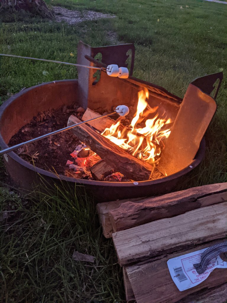
I finished my blog post early, and we worked together to set up the tent and make dinner, and it was even still light out by the time we were roasting marshmallows in front of the fire! It was also a gorgeous campground, and the only creepy thing about it was the bathroom, predictably. And then, of course, there was also the moment when a bird pooped on me. But still, all in all, much better than previous nights so far.
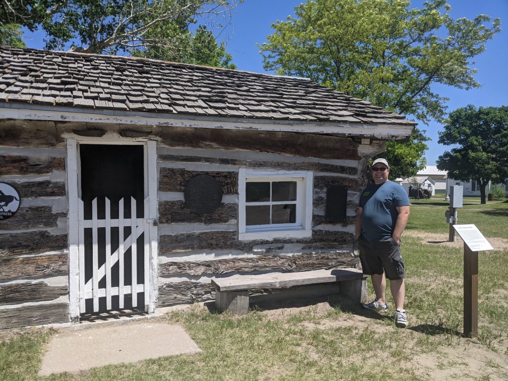
Even though the Pony Express was not running at the time my book takes place, we couldn’t resist stopping at pony express related stations whenever possible. One of the Pony Express stations we stopped at today was in Gothenberg, Nebraska.
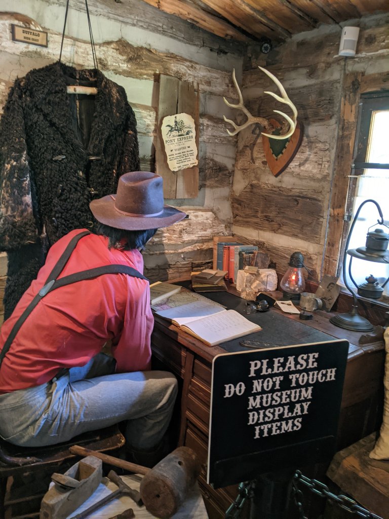
It was an original station, relocated to its current position, and absolutely adorable! They had an exact replica of the type of saddle that was used, and it was really cool to see it the secured bags where the mail would have been. They have a lot of other displays as well, indicating what life might have been like in the station. And then of course, a gift shop where I spent far more than I budgeted. I’m sorry, but I couldn’t resist that book!
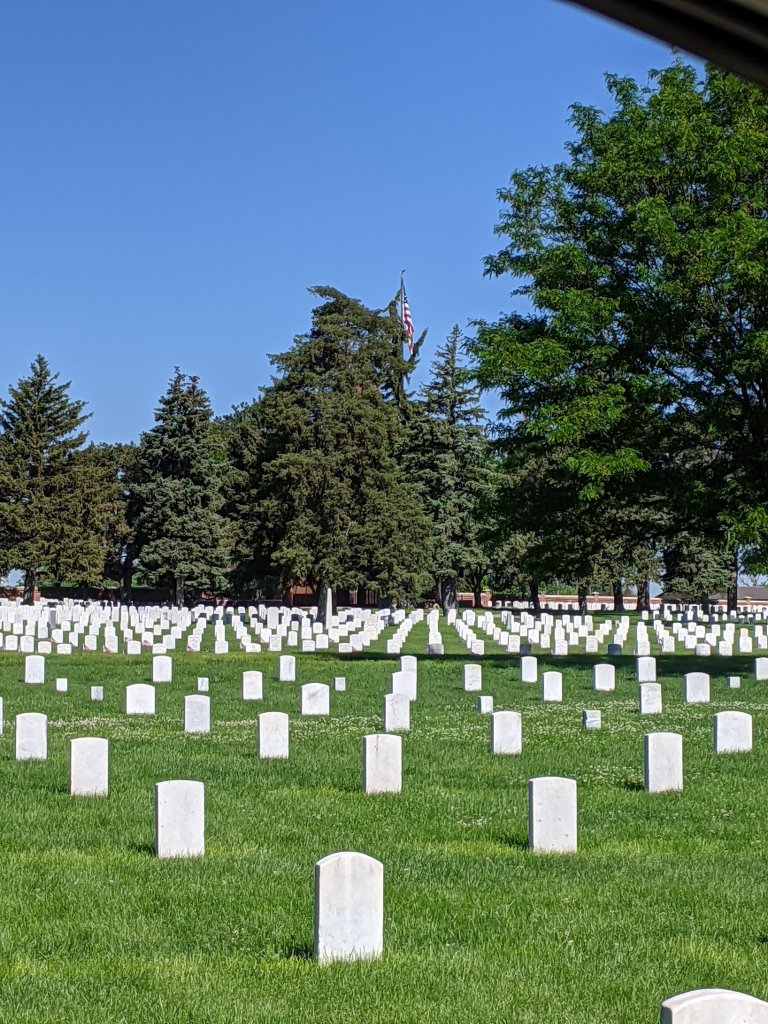
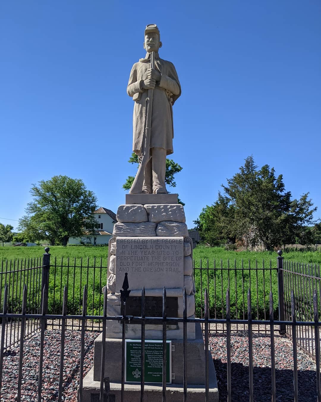
Fort McPherson National Cemetery was next, and didn’t take long to see. It was a beautiful, well-groomed cemetery honoring Fort McPherson and war veterans, but with modern burials as well. And we were delighted to find a marker just down the street where the original fort had been established. Fort McPherson, by the way, was established in 1863 to protect the last of emigrants traveling the trail prior to the civil war during heightened tensions with the Indians.
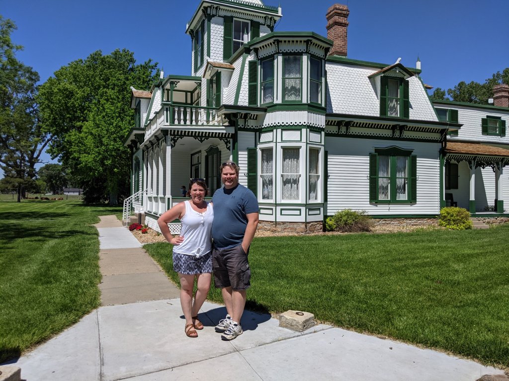
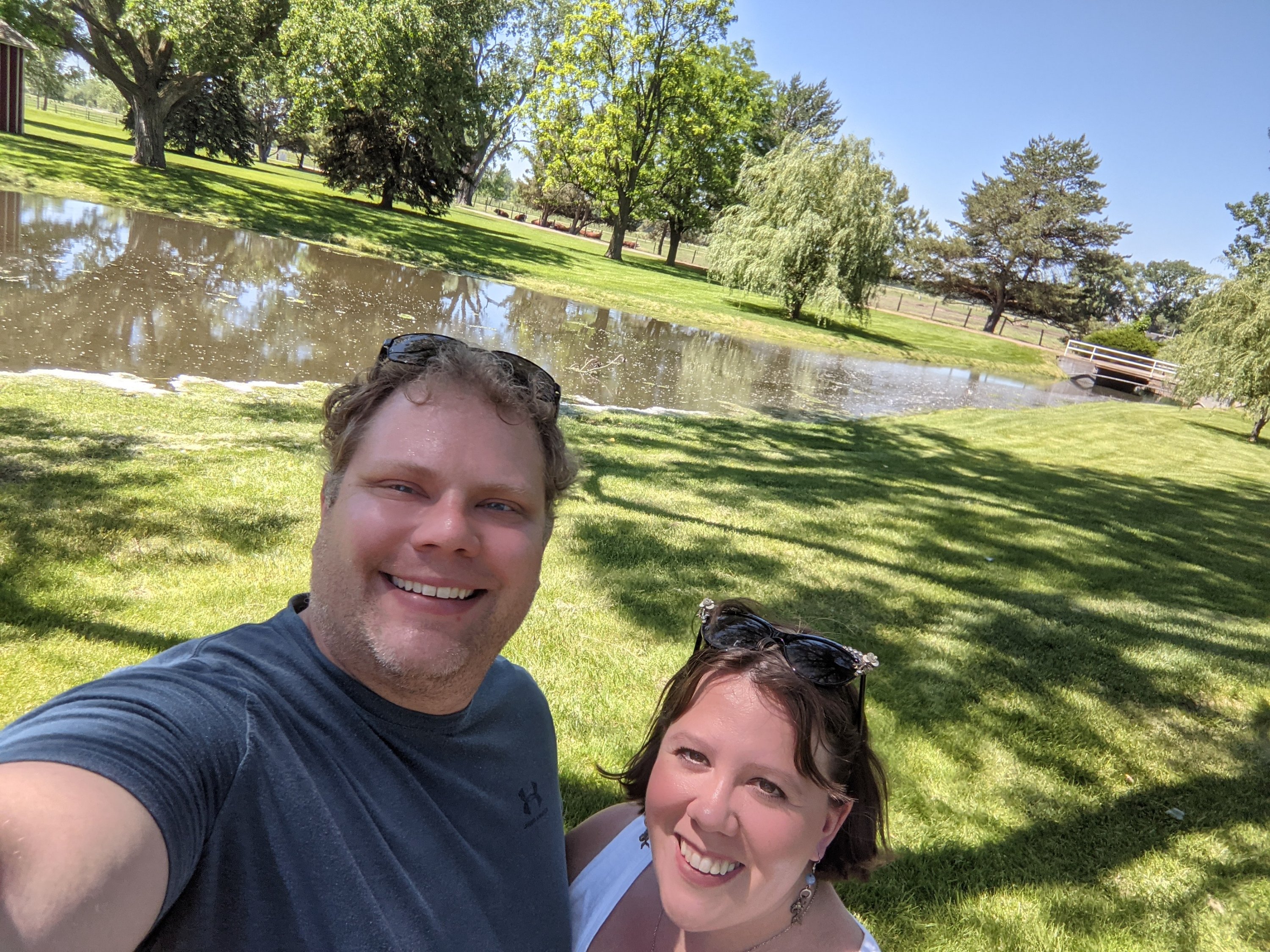
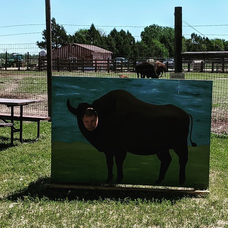
We took a detour down to the Buffalo Bill Ranch at my husband’s request–okay, I admit it–I was eager to see it as well. We got to explore the house, upstairs and down, and then walk the grounds, which were just gorgeous. It was pretty cool to look at the almost innumerable stalls and realized that was where he kept all his show horses. They also had a ton of selfie stations set up around, which we took full advantage of, not to mention a newly born baby buffalo!!!
From there, we hit the Lincoln Historical Museum, which was literally down the road. It was a fun detour, with historical houses that had been moved onto the grounds.
While I loved looking through them all, I was most excited to see a couple buildings from Fort McPherson, which, if you will recall, has been totally torn down, and the only vestiges of where it once stood was that statue I posted.
After that, we began on the “real” stops…a.k.a., stops that the emigrants would have made!
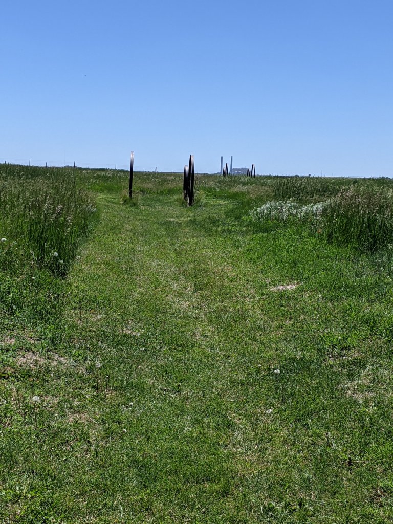
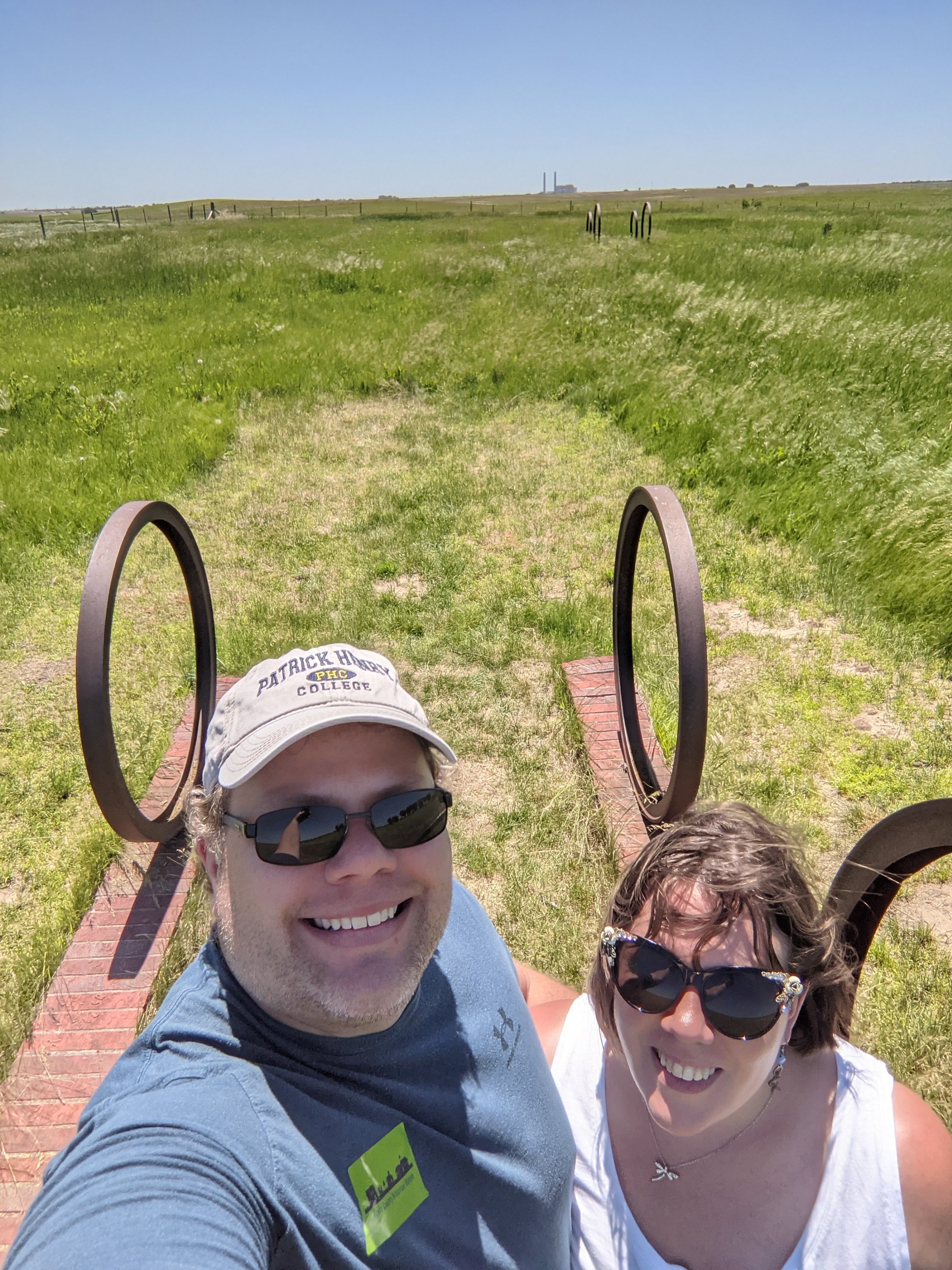
O’Fallon’s Bluff was one of the coolest stops so far. I completely geeked out over the fake wagon wheels across O’Fallon’s Bluff. I know, absurd, but there was something about them that just made it seem so real! And they were placed over actual wagon swales! Considered a landmark, Traveling the Oregon Trail says that “the bluff came so close to the Platte River that emigrant wagons were forced to travel single-file over the route.”
Based on Traveling the Oregon Trail, I didn’t expect to have a lot of trouble finding California Hill, but apparently the book is older than I realized, because google brought us to the historical marker, but once we turned down the road, we found nothing indicating where the hill actually was. California Hill, by the way, was a large hill climbed by emigrants who had just crossed the South Platte River, and supposedly have really deep ruts. Despite the lack of
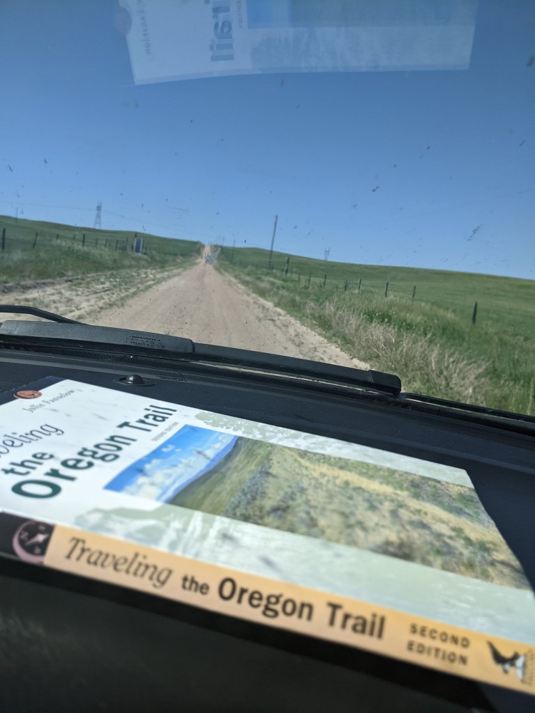
markers, I decided to follow the book’s instructions for back roads (which they warned were pretty bad), and we trekked forth. Daniel believes that the road we were on were the actual trail ruts because they were so bad. I was honestly impressed with the SUV for making it. And, while I was pretty disappointed that we didn’t find the supposed gate that would let us cross and climb the hill, I felt much better about that once we crested the extremely steep hill and saw a snake crossing the road. I no longer had any desire to do anything but look from the car.
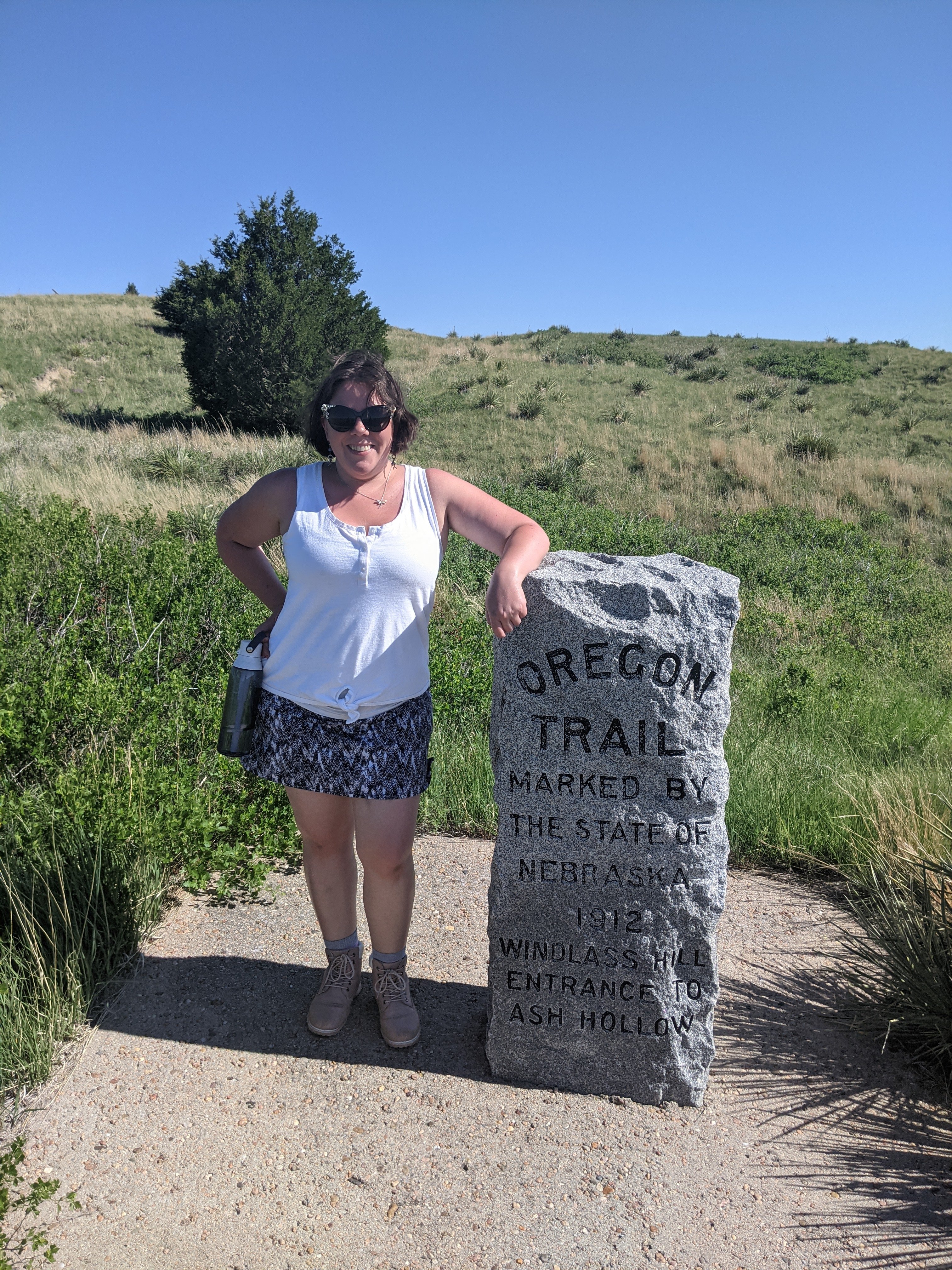
We went from there to Windlass Hill and Ash Hollow. The description from Traveling the Oregon Trail for this location is too good to pass up, so I’m going to quote it verbatim:
“Judging from emigrant diaries, Ash Hollow was among the most favored spots along the Oregon Trail. Here, the travelers found welcome shade trees and firewood, abundant grass for their animals, and water that one pioneer called ‘the best and purest ever drank’…guidebooks pronounced the water at Ash Hollow the very best along the Oregon Trail, and most emigrants rested a day or two at this camp. But before they could enjoy these treasures, the emigrants had to make their way down the dreaded Windlass Hill…travelers tied ropes to their wagons, locked the wheels, and hoped for the best…some travelers deiced to avoid the hill altogether, keeping to the bluffs another 16 or 17 miles out of their way just to bypass the steep grade.”
Yes, we did, in fact, climb Windlass Hill. Which had a warning before we started about rattlesnakes. So I may have started out singing to scare them away. But I very quickly was breathing so heavily they probably thought a dragon was coming to eat them, and stayed far away. People! Daniel and I have been hiking four-miles with 40-50 pounds on our backs, and I felt like I almost died on this hill. How on earth did emigrants do this? And the ruts!! We
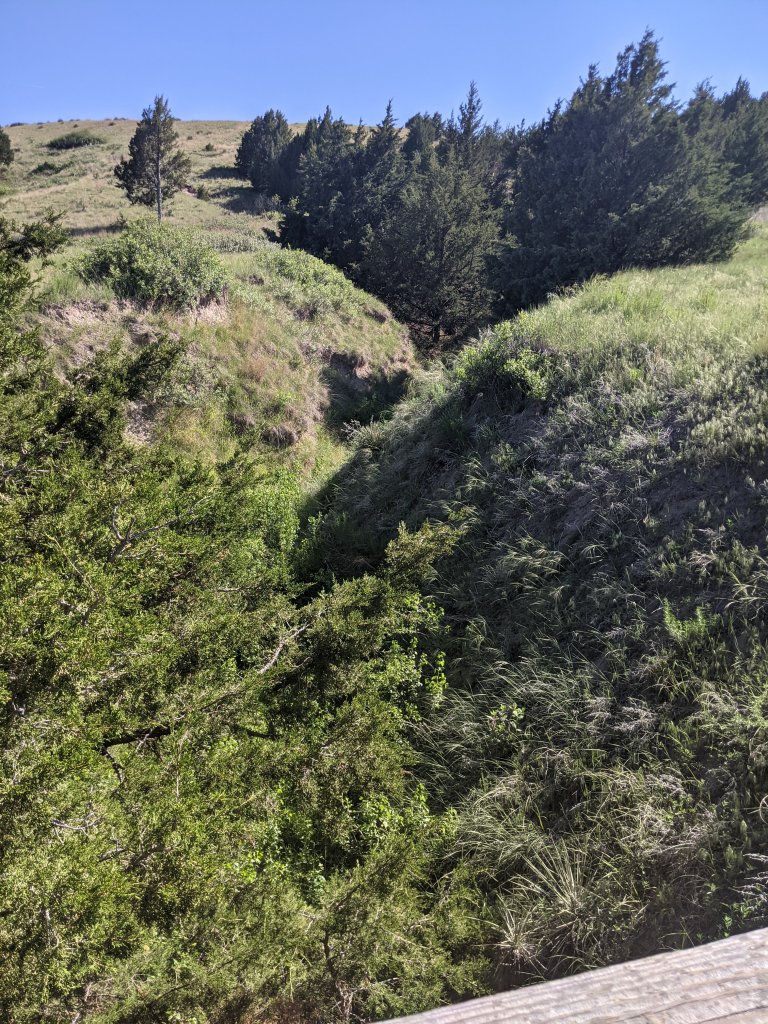
stopped on a bridge over this deep ravine, and Daniel asked, “Do you think these were wagon ruts?” And I said, “No way. They couldn’t be.” BUT THEY WERE! So many wagons made their way down that steep hill, it is like its own valley!! Anyway, we finally made it to the top, and stared at the incredible scenery around us for awhile before heading back down (Okay, fine, we may have also been catching our breath).
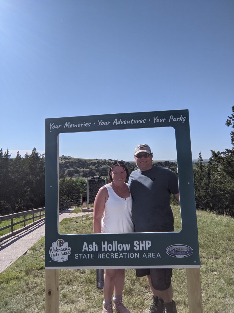
Then we drove the couple miles to the Ash Hollow Visitor Center, which would have been the emigrants’ destination as well, and got out of the car literally as the woman at
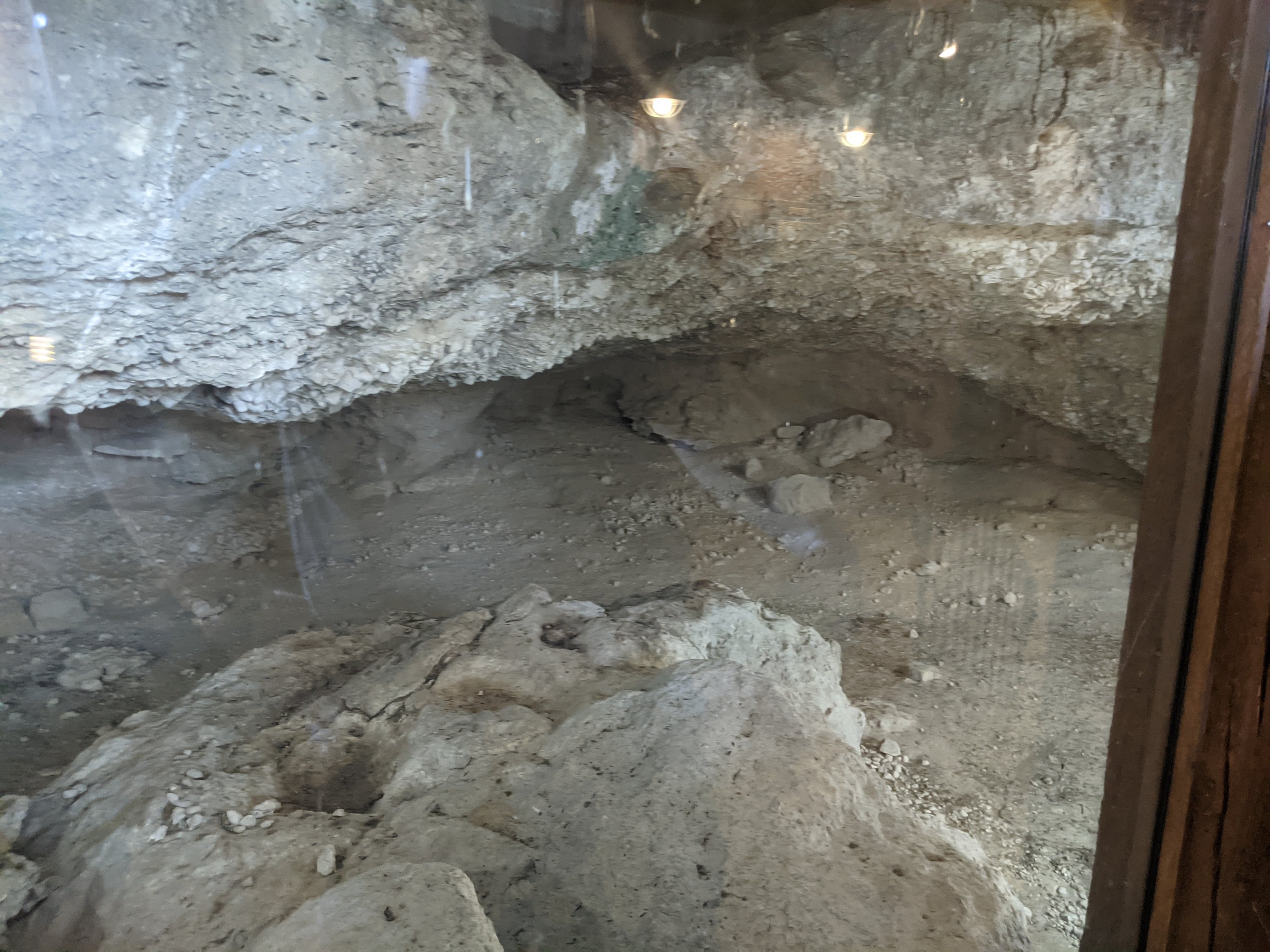
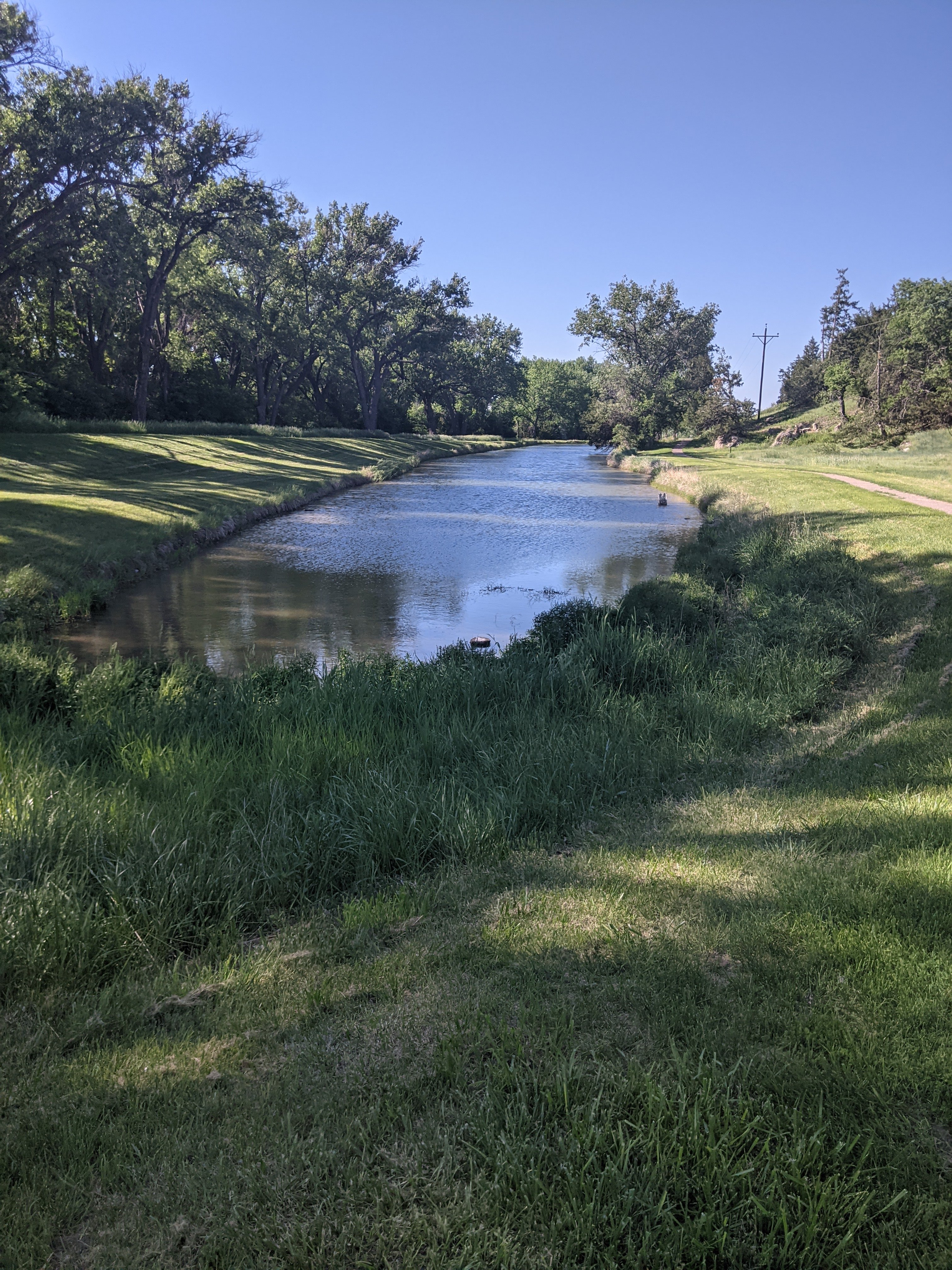
the visitor’s center was locking up. So, that was disappointing, but it’s okay, because the spring itself was still open!! We headed down the path, and detoured to a cave that they actually encased for viewing, which supposedly has been used historically for ages. That was pretty awesome. And then we hiked down to the spring itself, again having been warned to watch for rattlesnakes, and I again geeked out over the fact that the pioneers had once camped on those banks.
I almost died again going back up the hill to the visitor’s center, and so beyond thankful for cold water when we reached the car. It makes me appreciate the physical shape those men and women must have been in!
Mon. May 31st. Drove about 8 miles & came to Ancient Bluff Ruins. This is really a great curiosity…From here we can see Court House Rock on Southside (S. side) of Platte.
http://www.oregonpioneers.com/1852-Luzern-Humphrey-Diary.pdf
We took off again, this time for our final destination and the one I was most excited for (at least today): Courthouse and Jail Rock. On our way, we began passing these super cool formations, and I pointed them out, calling them “mini bluffs”. A moment later, we saw a sign for a historical marker which, of course, I had to swing by, and it turned out we were at Ancient Bluff Ruins, another emigrant landmark that we had been planning to skip due to time!!! A few pictures later, and we continued on.
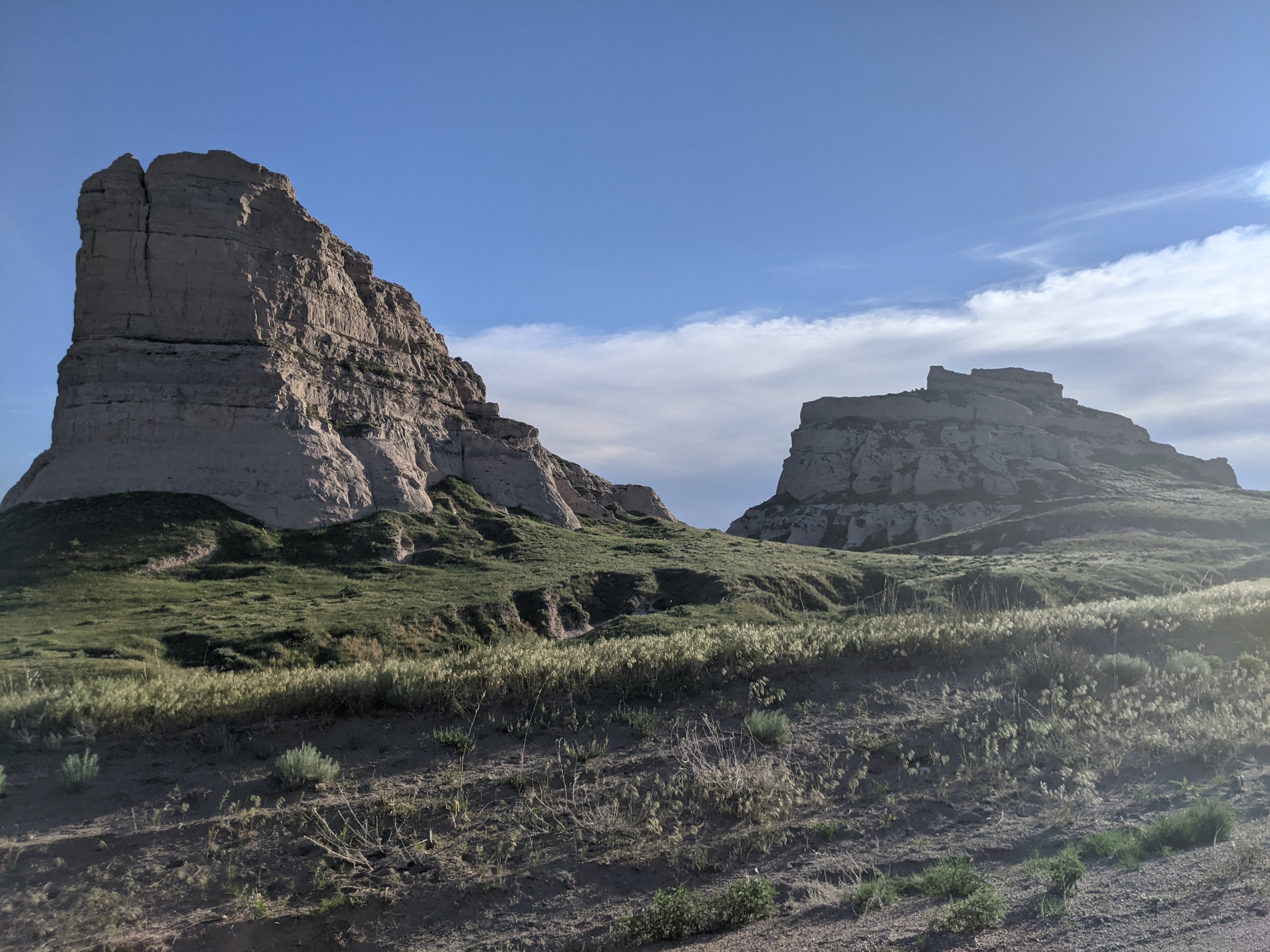
Courthouse and Jail Rock were some of the most famous landmarks along the Oregon Trail. The National Park Service notes that they were the first big rock structures encountered on the trail and signified a crossing of the California and Oregon trails. I knew I would be excited to see
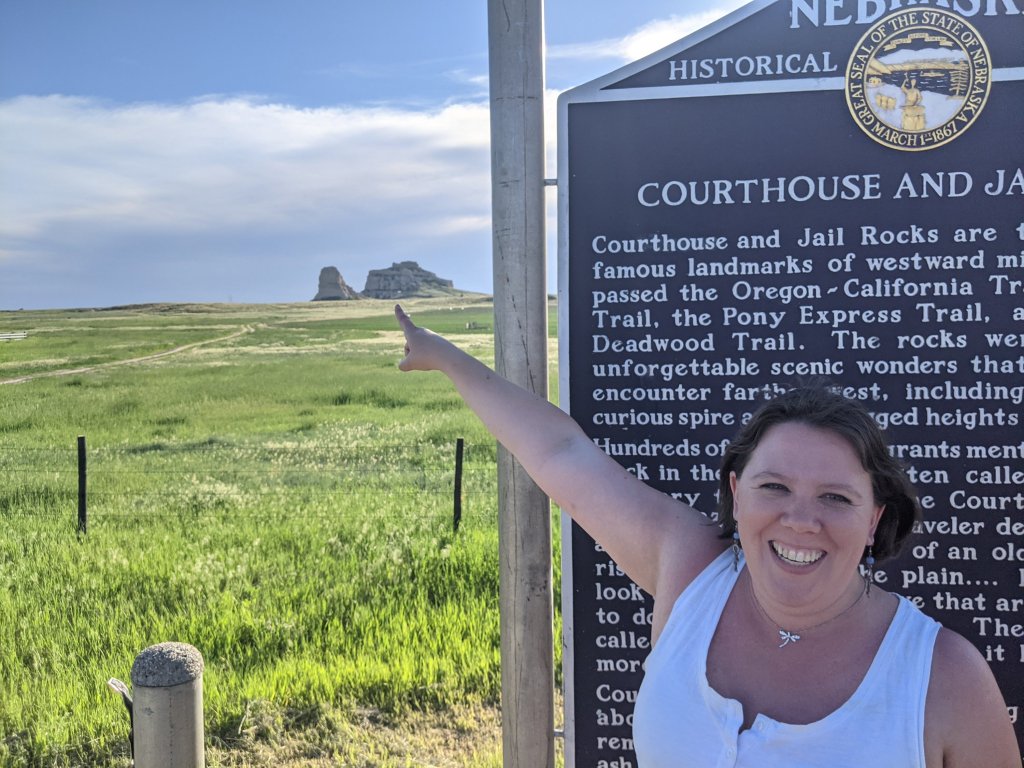
these structures, but even I was unprepared for the elation that overtook me. Daniel was laughing at me the entire time, because I practically danced my way up to them, first in the driver’s seat of the car, and then up the path to the actual formations themselves. There was something just so extraordinary about seeing these things in person—indescribably large rocks that I had read about all my life. We hiked close enough to
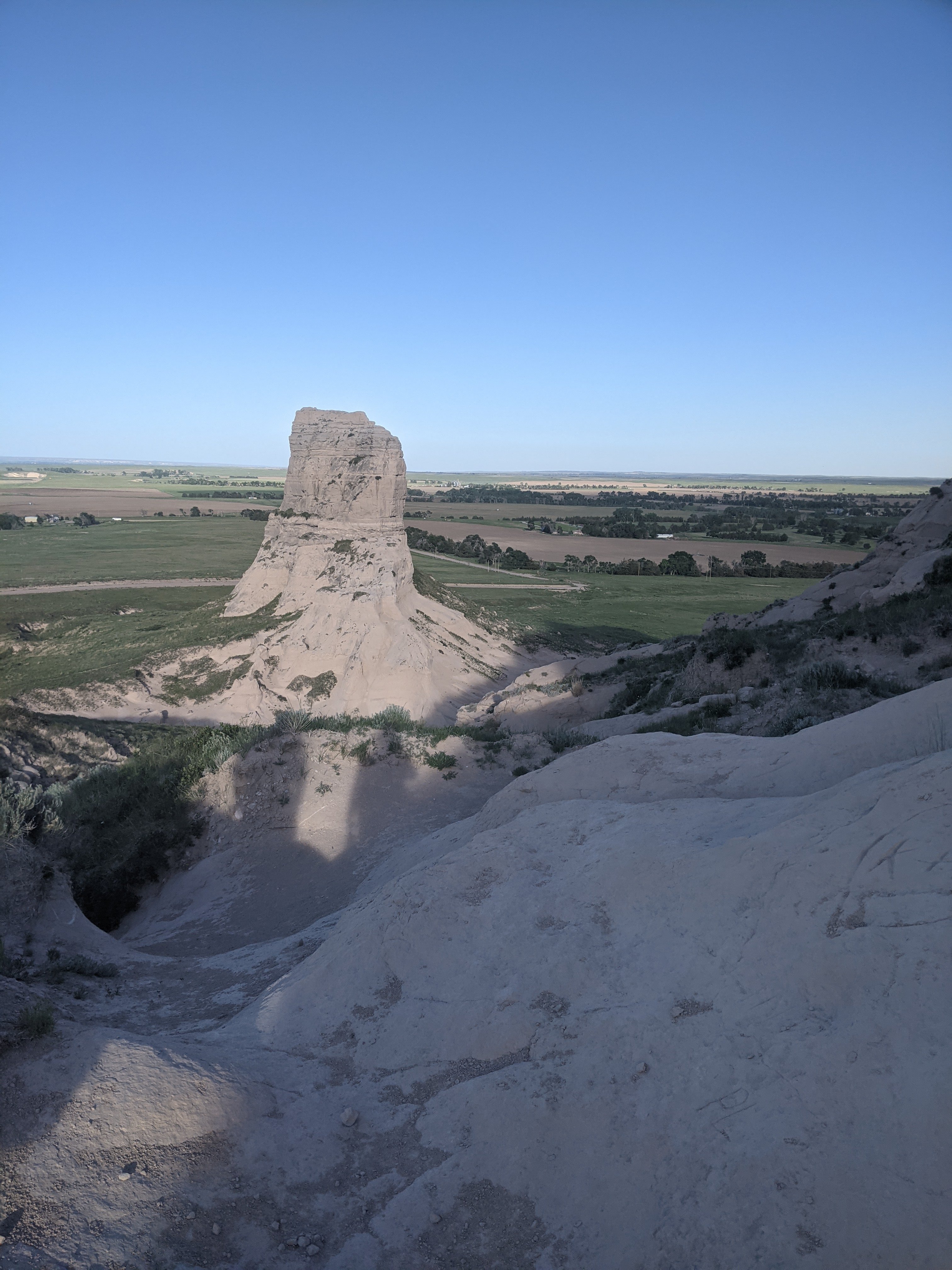
Courthouse Rock for me to touch it, inscribe my name, and take a small rock as a souvenir. We planned to go to Jail rock as well, but the path was very narrow and a little overgrown, and we weren’t dressed for possible snakebites, so instead we sat on the benches and admired the beautiful scenery for awhile.
Now, let me go on a rabbit trail for a second. It has come to my attention that I am far more nerdy than I realized. I’ve slowly begun realizing it based on the fact I had to explain to people about our trip, and they didn’t immediately recognize the places I mentioned. And then it was surprising to me that we were the only people at several of our stops so far. It was almost stunning to me that we were the only ones at Fort Kearney, and I brushed it off as it being too hot for people to venture out. When we went to Ash Hollow and Windlass Hill, again, I was surprised that we saw only one other couple, and that the visitor center was so small. But when we drove straight up to Courthouse and Jail rock, my mind was completely boggled by the fact that there was no gate. And then that there was no one else there. And then that there was no visitor center. I had to sit and process the fact that we could just walk up and see them…that it wasn’t all blocked off and crowded like Mount Rushmore will be.
I finally talked to Daniel about it, and he confirmed that, yes, in fact, most people know very little about, and care even less about, the Oregon/California trails, and I think he had to restrain himself from laughing out loud when I expressed my shock at the lack of crowds and tourist-trap-paraphernalia. Apparently, this is a very niche interest, and I legitimately did not realize this.
So now I am working on readjusting all my expectations for upcoming stops, in which I was certain we would be pushing through crowds to see what I wanted to see.
So, anyway. You have my confession. Full-on nerd about this, apparently. Onward march.
We are now on the road to Rapid City, South Dakota, where we will overnight in order to detour to Mount Rushmore. While the emigrants certainly couldn’t have detoured to see it even if it had existed, I think they would have approved of our detour.
“We are going to go look at Courthouse Rock. Want to come?” A tall, dark-haired girl interposed before anyone could take offense. Elizabeth couldn’t help the slight widening of her eyes. It was the first time any of the girls had actually asked her to join them.
A Picture of the Past

It looks like you are experiencing a fun trip. I’m glad the camping I going better. You are a brave soul. I don’t think most people are interested in any form of history these days. i find the information you are sharing about the Oregon Trail fascinating.
Thank you! I am truly glad you are enjoying it! I get so excited about it all.